
Part 1
Context/ Site Survey
In the first part, the survey of Pontokomi, a village which is to be relocated over the next five years, was realized by using the photogrammetry method with a drone, in order to capture the surface, by ‘freezing’ the urban memory and sealing the memory of the village in a three-dimensional form. The same procedure was applied to some interiors, to document the memory that the matter is carrying, as well as in the area of the old Kleitos Village, which has been relocated over the last 20 years, where the PPC mines currently operate, in order to capture the topography of the mining area. Furthermore, for a better understanding of the topography of the general area, there were created some general maps, showing the evolution of the mining operation throughout the years.
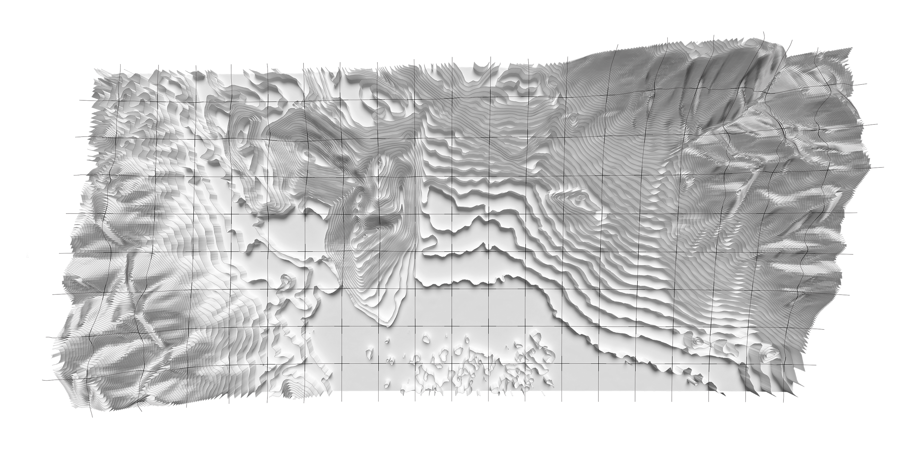
Topography

Maps showing the mining operation evolution from 2005 to 2050
![]()
360 Urban Memories, take a tour.

360 Urban Memories, take a tour.


Drone Scannings, capturing the urban memory

Molded Scanning into physical models, using CNC techniques
360s of interiors, take a tour and rotate yourself around.

Home memories, 3D point clouds
©
George Vlasis Pakalidis, Copenhagen, 2024